Missiles of July: A Brief View of the Cold War in Northern Maine 18-July-2015 |
||
 |
It's 1962, I was a young boy, I had been learning how to Duck-and-Cover under my desk, how to cover myself with newspaper from my desk and to shield my eyes from the bright light. It was the height of the cold war and I was less them 1 mile from a very well-known target. That fall my Dad (some say he was Plane Crazy) took the family up to Loring Maine for holiday's. I will never forget standing on the end of the runway with the ground shaking while B-52 boomers took off - one after another, the electricity in the air, the sounds and smells of war.
It felt like the end of the world. It almost was! No one knew then how close we came. I’m sure today that most people still don't.
I returned to Lorning and Limestone 50 years later. This is a small selection of the pictures I shot. |
Duck&Cover |
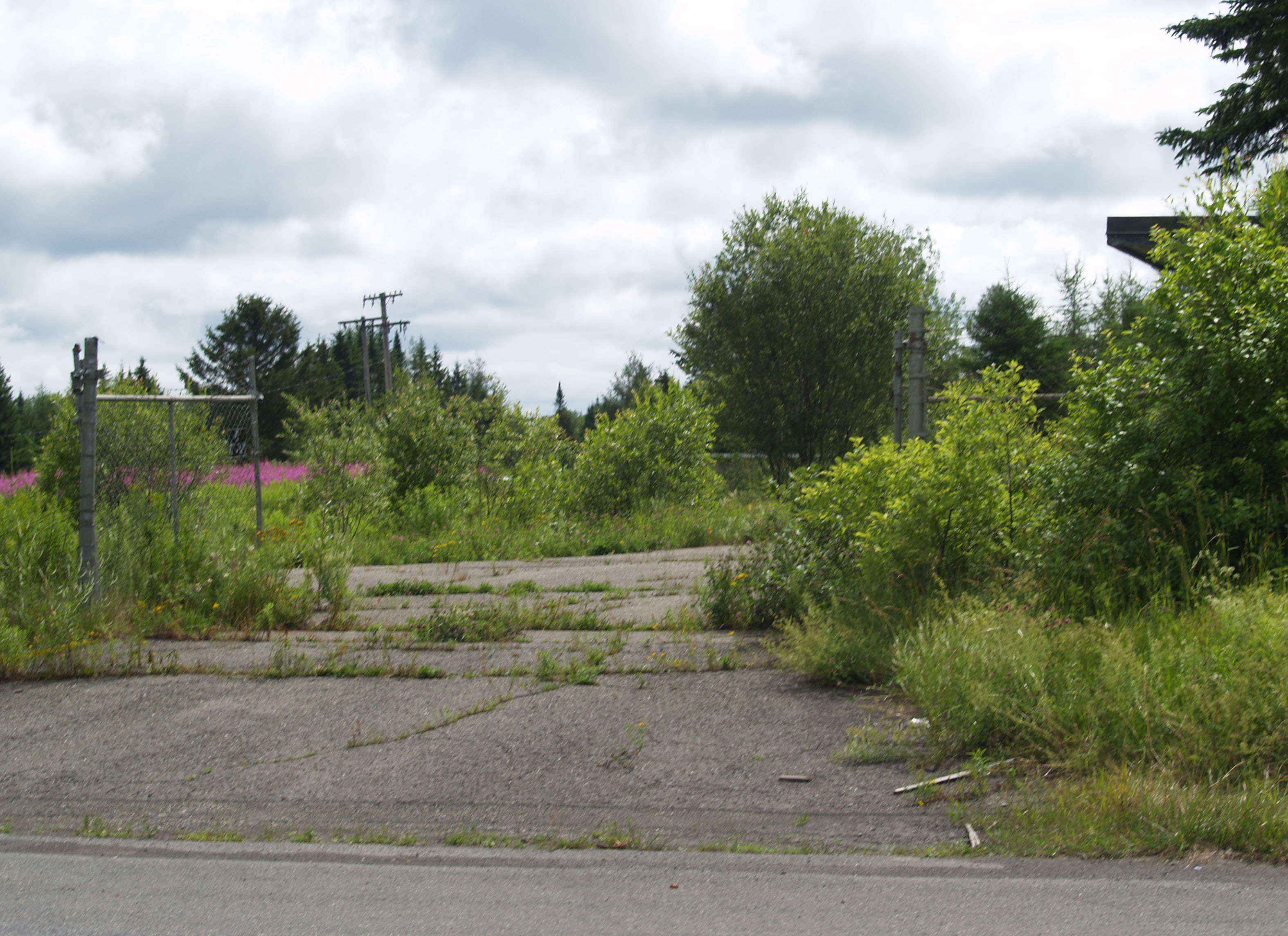 |
Connor Nike Missile Site L-85-C (control) and L-85-L (launch),Van Buren Road south of Cyr Maine; Strategic Air Command (SAC) 1966-1995 – Managed by Strategic Air Command’s Nuclear Alert Strike Force, Lorning AFB, Limestone Maine. Picture from Highway 1 facing East, main gate to launch area is gone. No signage. (bring lots of bug spray) Shot 18-July-2015 |
Google Maps |
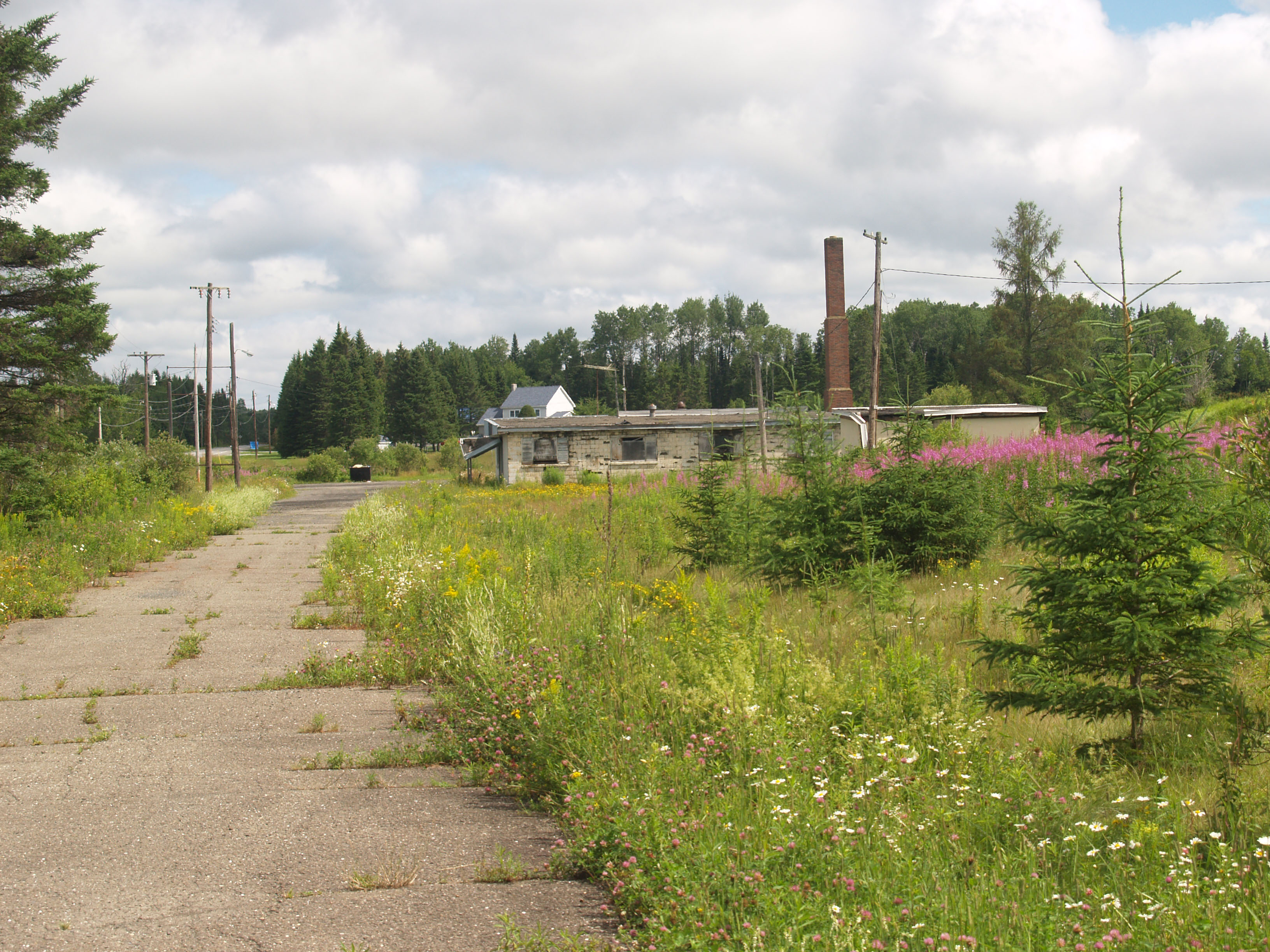 |
More of Connor Nike Missile Site L-85-L (launch) - Picture inside gate facing North towards housing. Shot 18-July-2015 |
Google Maps |
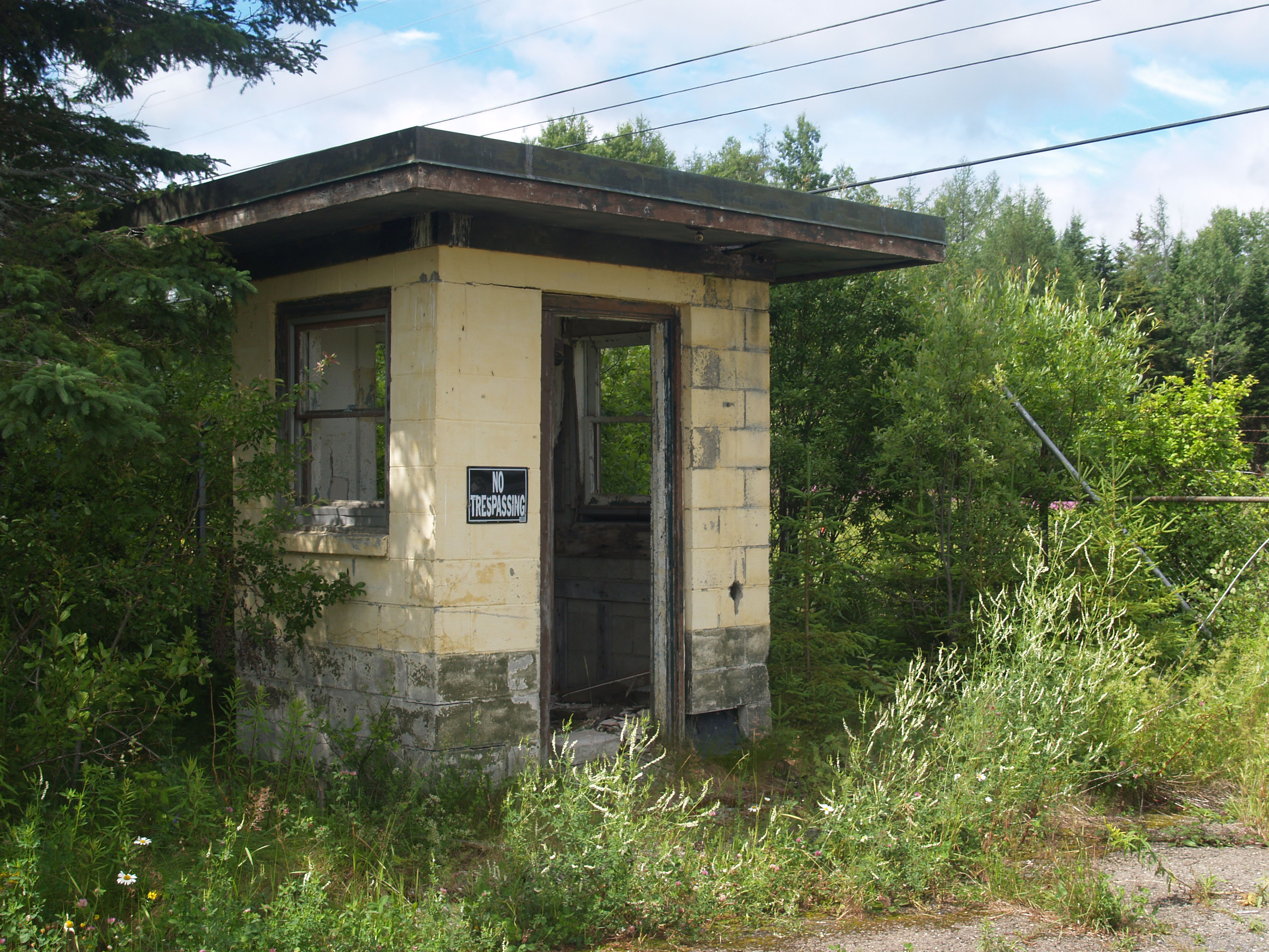 |
More of Connor Nike Missile Site L-85-L (launch) - Picture inside gate facing South towards Guard House. Shot 18-July-2015 |
Google Maps |
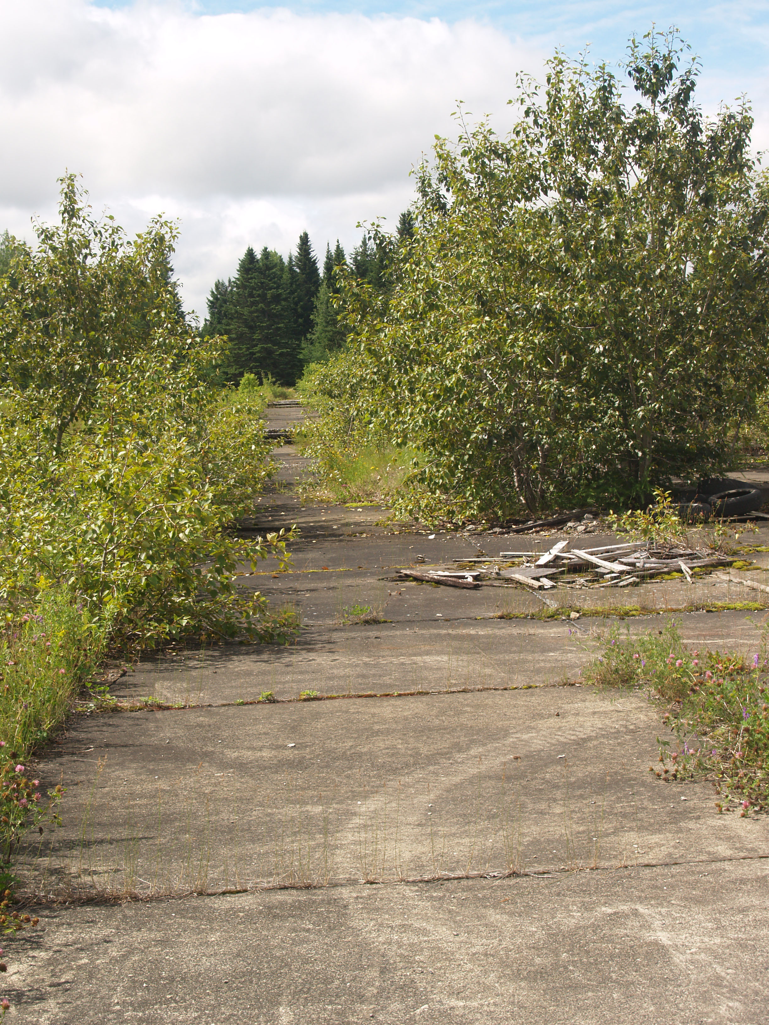 |
More of Connor Nike Missile Site L-85-L (launch) - Picture inside near platforms facing South (run-ups). Shot 18-July-2015 |
Google Maps |
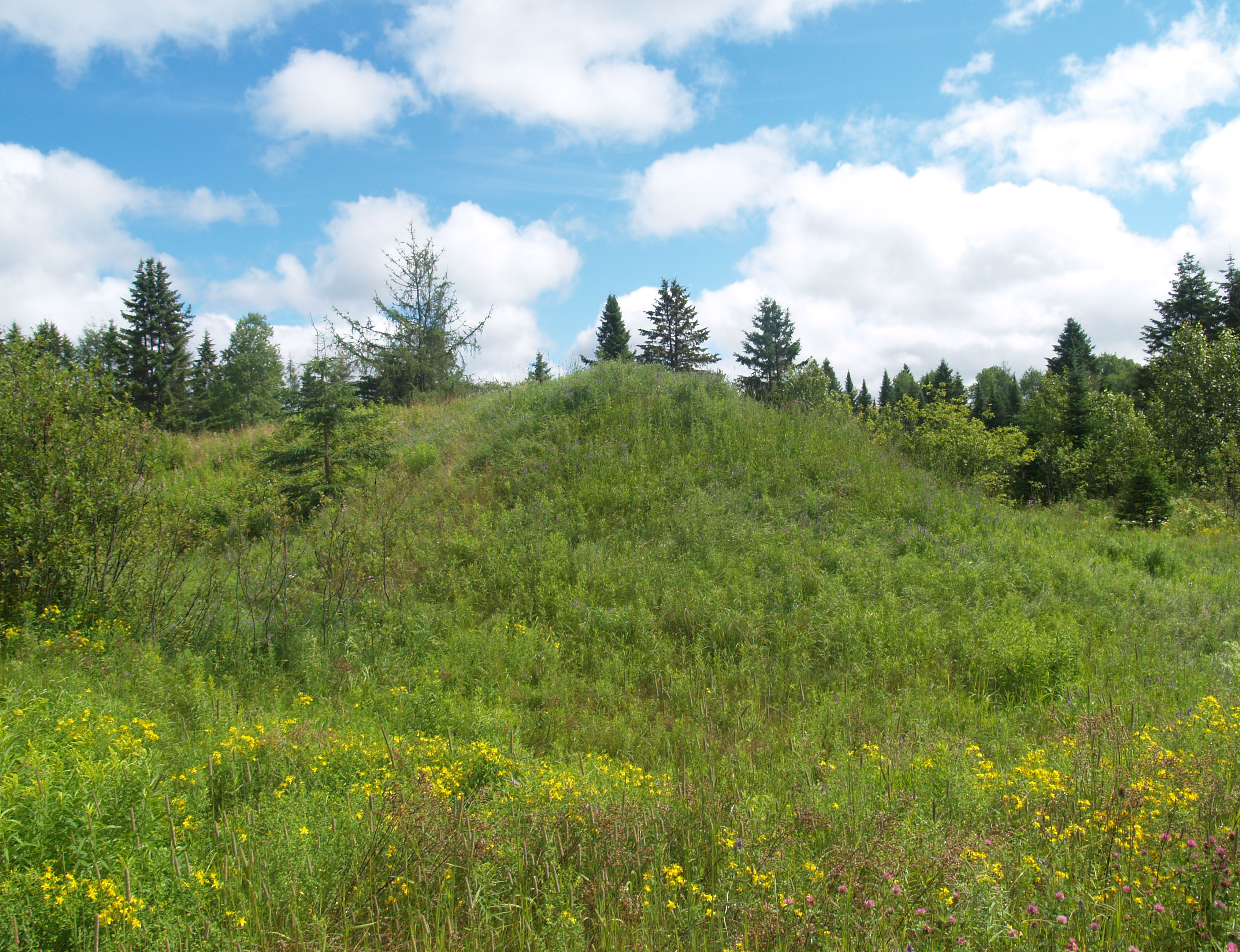 |
More of Connor Nike Missile Site L-85-L (launch) - Picture on NE side of platform - Brum requires more study (next trip) - facing East. Shot 18-July-2015 |
Google Maps |
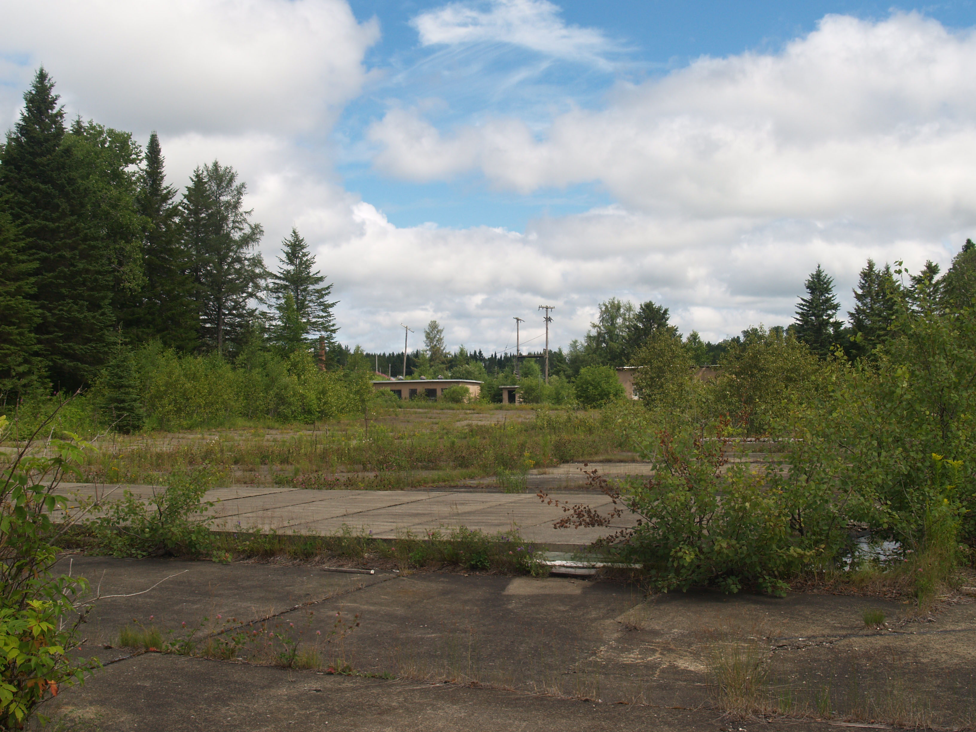 |
More of Connor Nike Missile Site L-85-L (launch) - Picture South East end of platform - Facing North. Note slab cement over key platform areas. Shot 18-July-2015 |
Google Maps |
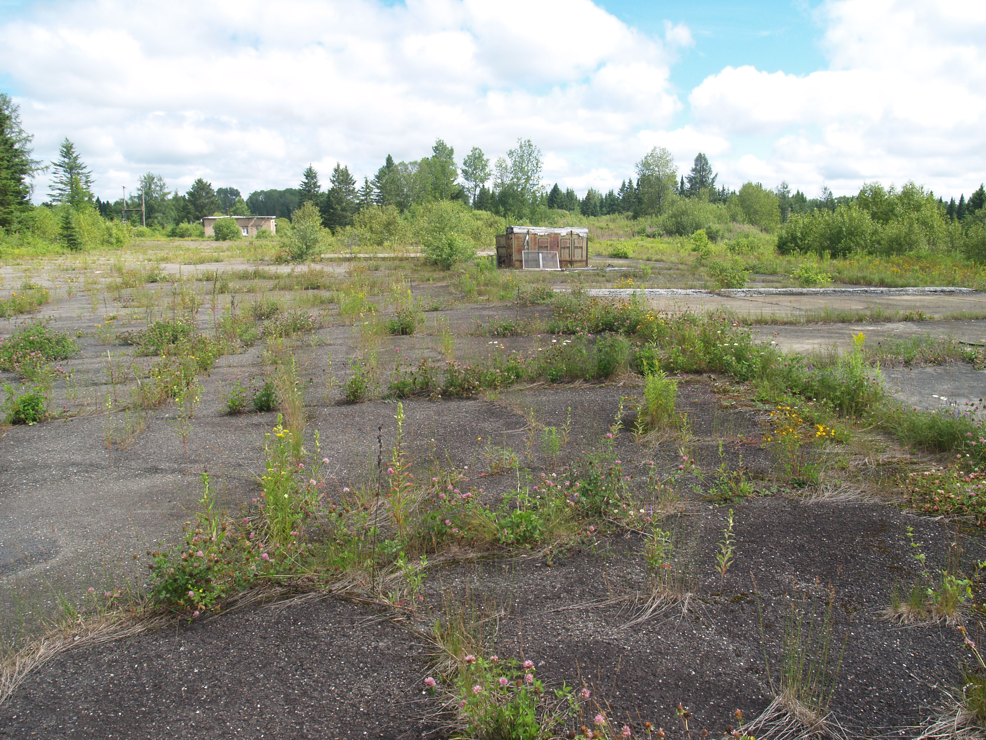 |
More of Connor Nike Missile Site L-85-L (launch) - Picture South West end of platform - Facing North. Note slab cement over key platform areas. Shot 18-July-2015 |
Google Maps |
 |
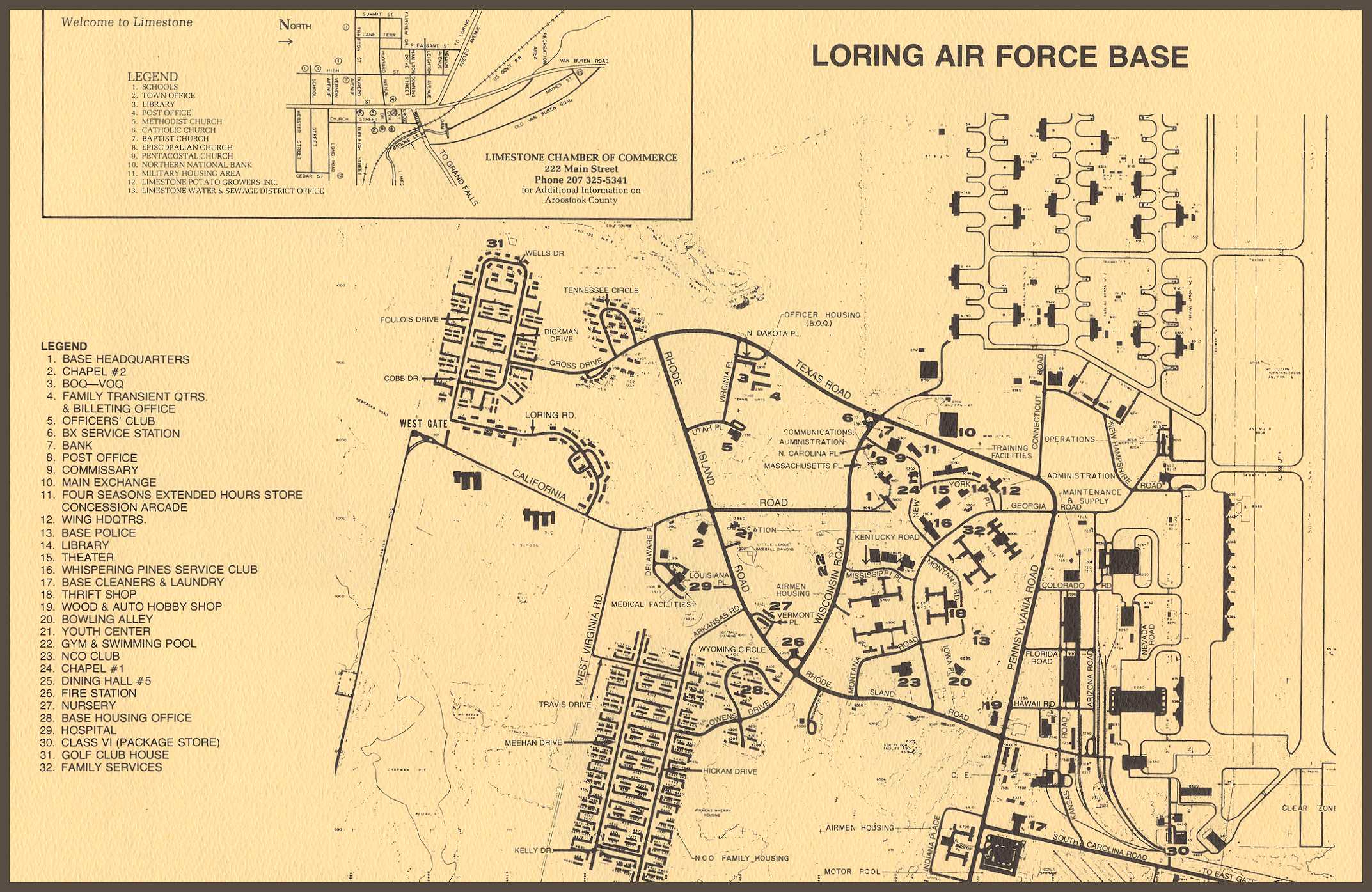
Lorning AFB, Limestone Maine; Strategic Air Command (SAC) 1947-1994 – Home for Strategic Air Command’s Nuclear Alert Strike Force, the 42nd, 69th, 70th and 75th Bombardment Wing flying monster B-36 and later the B-52 boomers. With over 300 building, structures, water and control towers still standing, it is a huge monument to the Cold War and the need to protect America from the Russians during those trying days. This hanger could hold 6 B-52’s or 5 B-36's. Massive by all standards and a great sight when approaching from the air. Shot 18-July-2015 |
Google Maps |
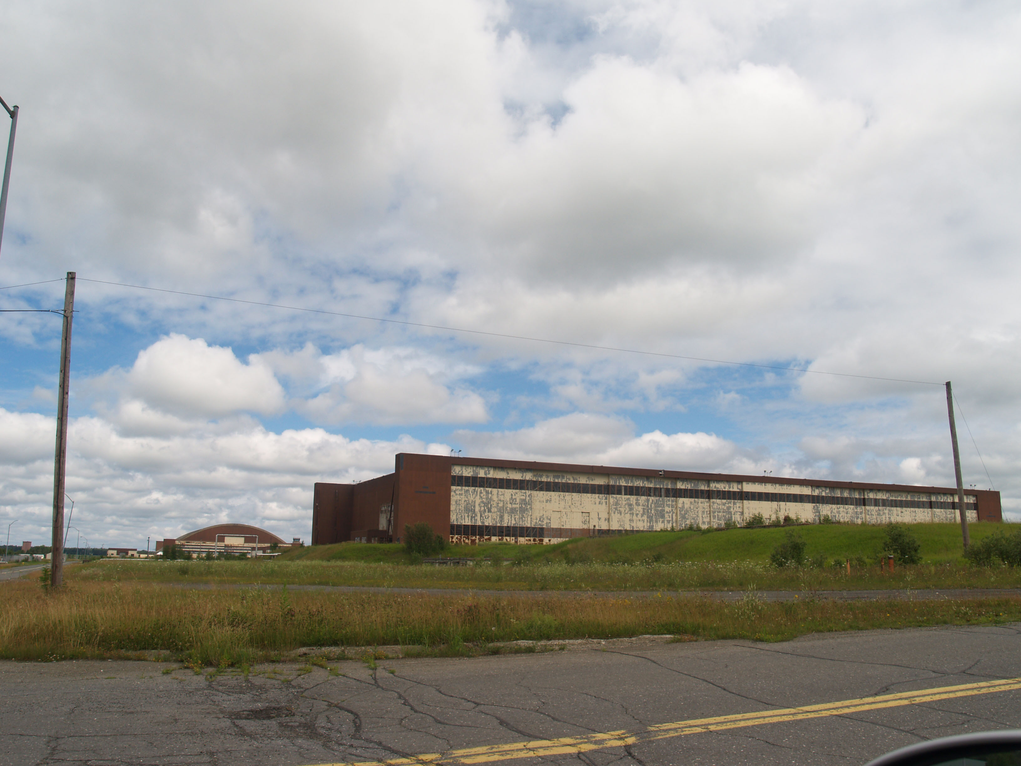 |
More Lorning AFB, Limestone Maine; Strategic Air Command (SAC) 1947-1994 – This is one of the two major B-52 Tech hangers still standing. Shot 18-July-2015 |
Google Maps |
 |
Presque Isle AFB, Maine; 702nd Strategic Missile Wing of the Eight Air Force - Strategic Air Command (SAC) 1957-1962 - Site for the development and deployment of the 12 SM-62 Snark ICM – (Intercontinental missile) launch platforms. I was once told this was an ‘ALERT SITE’ during the Cuban Missile Crisis (14-28 Oct 1962) and was abandoned with 30 day of the end of the crisis. Coincidence? Shot 18-July-2015 |
Google Maps |

THE WORLD ON THE BRINK - JFK and the CUBAN MISSILE CRISIS - THIRTEEN DAYS IN OCTOBER 1962
THE MISSILES OF OCTOBER (1974) YouTube
If you just had to ask then the answer is
I WAS NEVER THERE (in 1962 or in 2015) Ok, so get over it.
Go Home